Oregon is full of communities and people who are passionate about experiencing the beauty of our state from the seat of a bike, and sharing that beauty with others. Here’s a collection of high-quality resources, from published guidebooks to interactive online maps, to help you plan your next bicycling adventure.
Statewide
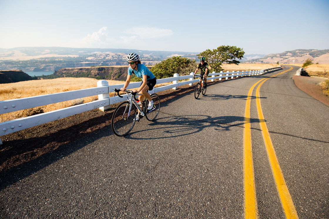
Oregon Scenic Bikeways Map from Travel Oregon
Oregon is the only state in the country with official Scenic Bikeways. Use this guide to explore the best routes that Oregon has to offer — all from the seat of a bike.
Oregon State Bicycle Map from ODOT
A statewide cycling map from the Oregon Department of Transportation.
Biker Campsites Map from ORPD (select Hiker Biker Campsites under “Facilities”)
Oregon offers first-come, first-served campsites just for cyclists and hikers at our state parks. Even if a parking lot sign says “full,” there’s usually space in these walk-in sites.
75 Classic Rides Oregon: The Best Road Biking Routes by Jim Moore
This guidebook is authored by Jim Moore, a written voice behind both RideOregonRide.com and Cycle Oregon. It includes 70 epic one-day routes and five multi-day tours sprinkled across Oregon’s diverse geography.
Best Rail Trails: Pacific Northwest by Natalie Bartley
Whether you are walking, riding, running or rolling, Best Rail Trails: Pacific Northwest offers 60 rewarding outdoor experiences in Washington, Oregon and Idaho.
Bicycling America’s National Parks: Oregon and Washington by David Story
Explore the National Parks of Oregon and Washington on your bicycle with this guide to 58 road and mountain bike rides.
Cycling Sojourner: A Guide to the Best Multi-Day Tours in Oregon by Ellee Thalheimer
This guidebook includes multi-day routes, history and landscape facts for communities all around the state, with tons of hints and tips specific to self-supported touring.
Mountain Biking Oregon by Mark Wigg
Families and hardcore bikers alike will enjoy this comprehensive guide to the entire state. With more than 50 ride descriptions there’s something for everyone, including many newly constructed and recently opened trails.
Off-Street Paved Bike Paths in Oregon by Rick Bronson
Off-Street Paved Bike Paths in Oregon provides all the basic information you’ll need to explore more than 80 cycling trails throughout the Beaver State.
Rails-Trails Washington and Oregon by Rails-to-Trails Conservancy
This full-color book includes detailed coverage and maps of more than 40 great trails, with descriptions of each trail from start to finish, plus at-a-glance summary information indicating permitted uses, surface type, length, directions to trailheads, and amenities for each trail.
Road Biking Oregon: A Guide to the Greatest Bike Rides in the State by Lizann Dunegan
This second edition of Road Biking Oregon includes detailed profiles of several diverse, carefully designed tours, including traffic conditions, terrain, length, stop and rest points, maps and elevation profiles.
Central Oregon
Deschutes County Interactive Bikeway Map
Explore road routes in Deschutes County, including elevation profiles, descriptions and traffic profiles.
Central Oregon Bike Route Maps
Access 25 routes all around Central Oregon in this digital version of the Deschutes County Bicycling Guide.
Mountain Bike: Bend by Katy Bryce
This recent book from Katy Bryce guides you through 46 single-track routes in Bend, with everything from detailed maps to food and drink recommendations.
Mountain Biking Bend by Scott Rapp
Find adventure on any one of 31 trail rides featured in this guide to the areas surrounding Bend.
Mountain Biking Oregon – Northwest and Central Oregon by Lizann Dugan
Featuring nearly 50 mountain bike rides, this guide leads cyclists to some of the most scenic and varied landscapes in the state.
Kissing the Trail: Northwest and Central Oregon, 2nd Ed. by John Zilly
Heed the call of the single-track and pucker up! This fun guide brings you the best mountain bike routes within 3 hours of Portland.
Southern Oregon
Jackson County Bike Map from Jackson County
The Jackson County Bike Map includes up-to-date information and has been redesigned with even more detail, plus local laws and safe riding tips.
City of Ashland Bicycle Routes & Public Trails from City of Ashland
This map of the city’s bicycle trails and footpaths is available in printed form from the Ashland Parks Department.
North Umpqua Trail Brochure from the Bureau of Land Management & Umpqua National Forest
This free guide to the IMBA Epic North Umpqua Trail includes maps and information for the entire trail or individual segments.
Douglas County & Roseburg Bicycle Map from Roseburg Area Chamber of Commerce and Visitors Center
This hard-copy map includes county road routes and trails on one side, with detail for Roseburg road routes and paths on the other.
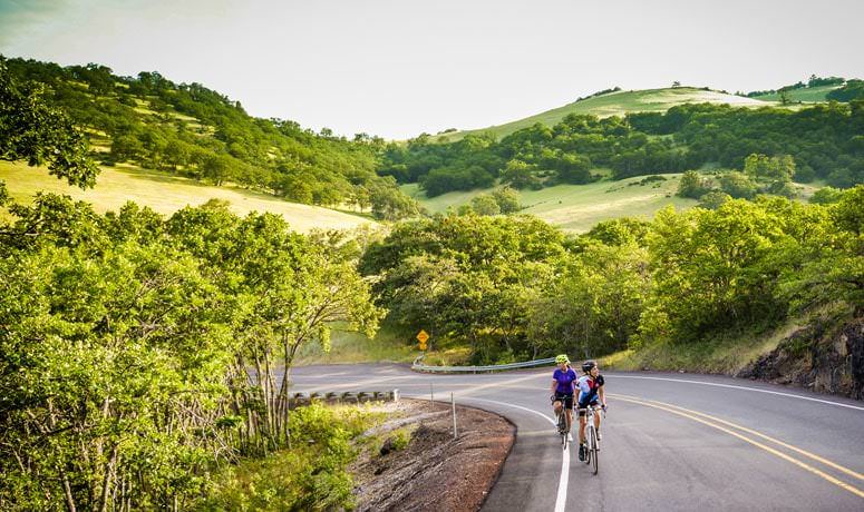
Willamette Valley
Willamette Valley Scenic Bikeway Maps from ORPD
Four different printable bike maps and three inset maps are available to guide you through Oregon’s beautiful Willamette Valley Scenic Bikeway.
Corvallis and Benton County Bike Routes from City of Corvallis
This map is color-coded for traffic, use, and surface, and features points of interest, markets, campgrounds, restrooms and water availability.
Mid-Willamette Valley Bicycle & Pedestrian Map from Linn County
Browse this interactive collection of maps to explore all the middle Willamette Valley has to offer, with filters for amenities.
Eugene and Springfield Bicycle Maps from City of Eugene
Springfield and Eugene’s extensive road and path systems are displayed on a PDF map with bike shops and other points of interest.
Bicycling the Backroads of Northwest Oregon, 2nd Ed. by Phillip N. Jones and Jean Henderson
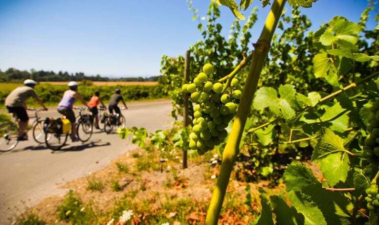
These routes will take you over rolling hills and flatlands to the Willamette Valley’s vineyards, dairy farms, small towns and covered bridges.
Portland Region
Washington County Bike Map from Washington County Visitors Association
This free map of Washington County bike routes includes road routes and trails, along with icon-depicted suggestions for fun, delicious, scenic and otherwise noteworthy stops along the way.
Clark County (Washington) Bike Map from Clark County
Access local and regional maps for Clark County and the surrounding area, including Vancouver, Portland and the Columbia River Gorge.
Milwaukie Bike Map from City of Milwaukie
This free color-coded map highlights road routes in Milwaukie, with details such as bike lanes, paths and tricky spots.
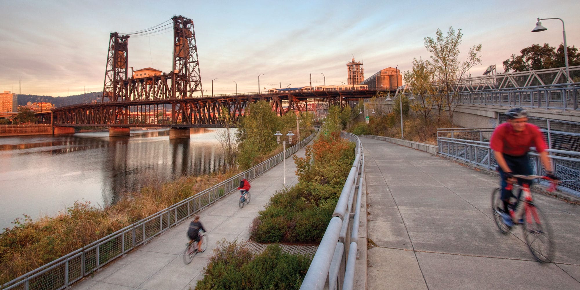
Bike There! Portland Map from Portland Metro
The new Bike There! map will help you explore 235 miles of off-street trails and over 600 miles of on-street routes.
Portland and Beyond – Regional Bike Maps from City of Portland Bureau of Transportation
This page is a jumping-off point to multiple maps, which are color-coded based on traffic volume. View maps for Portland and 11 nearby areas, plus follow links to more maps.
Getting Around Gresham from City of Gresham
This webpage contains links for multiple city maps, which include not only a bunch of routes but also commuter tips and information about local events, bike shops, and bike transit options.
Portland Bike Map from City of Portland
This full-color map shows Portland, parts of Vancouver and Beaverton, with large-scale detail of downtown Portland. It includes bike shops, steep hills and major transit connections.
Salem/Keizer Bicycle Map from City of Salem
Browse this online map for route and traffic information within Salem and Keizer.
Clackamas County Bike It! Map from Clackamas County and METRO
This map includes road and mountain biking routes around Clackamas County, plus it highlights 10 suggested recreational bike rides, from 7 to 73 miles long, from relatively flat farmland to uphill all the way.
Pedal Portland: 25 Easy Rides for Exploring the City by Bike by Todd Roll
Pedal Portland celebrates the city’s passion for pedaling in an accessible, fun, and family-friendly way. It features 25 easy rides that explore the most interesting parts of the city and surrounding areas. Each ride is accessible to anyone with a bike, including kids.
Pedal’s Picks from Pedal Bike Tours
Dubbed “a map of our guides’ favorite places to eat, drink and explore Portland,” this is a great resource for those who like to pedal and partake on the same trip. It’s the first and only combination bike map and city guide in Portland, and it includes more than 100 favorite spots picked by Pedal’s tour guides.
PDX By Bike by Elly Blue and Meghan Sinnott
This zine from local authors provides the ins and outs of Portland bike culture, infrastructure, history and events, plus where on the Internet to find specific things to do and places to go.
Mountain Biking Portland by Scott Rapp
This guide gives fat-tire enthusiasts the skinny on where to ride — from the city’s western hills, to the trails of Mt. Hood and Mt. St. Helens.
Mountain Biking Oregon – Northwest and Central Oregon by Lizann Dugan
Featuring nearly 50 mountain bike rides, this guide leads cyclists to some of the most scenic and varied landscapes in the state.
Kissing the Trail: Northwest and Central Oregon, 2nd Ed. by John Zilly
Heed the call of the single-track and pucker up! This fun guide brings you the best mountain bike routes within 3 hours of Portland.
Rubber to the Road, Vol. 1: 30 Rides Around Portland by Peter Marsh
Using Rubber to the Road, you can check out 30 overlooked and underappreciated rides just outside of the hustle and bustle of Portland, Oregon.
Rubber to the Road, Vol. 2: 30 More Rides Around Portland by Otis Rubottom
The second volume of Rubber to the Road expands upon the first with longer rides, detailed maps and challenging terrain.
The Oregon Coast
Biking in Seaside from Visit Seaside
Find detailed trail descriptions — including distance, elevation gain and maximum elevation — and downloadable maps on the Visit Seaside website. There are also links to bike rental shops.
Lincoln County Bicycle Routes & Maps from Lincoln County
This website contains the full Lincoln County bicycle map as well as more detailed north, central and south county maps; detailed info grid for all routes. Some gravel roads are noted to be “only suitable for mountain bikes.”
Oregon South Coast Bike Ride Guide by Tom Baake
More than 75 treks for mountain bicyclists and road riders are detailed in the Oregon South Coast Bike Ride Guide, a 2012 guidebook by Coos Bay outdoor writer Tom Baake. The book covers the South Coast from north of Florence to south of Brookings, with in-town rides and more ambitious treks to inland destinations and the Coast Range.
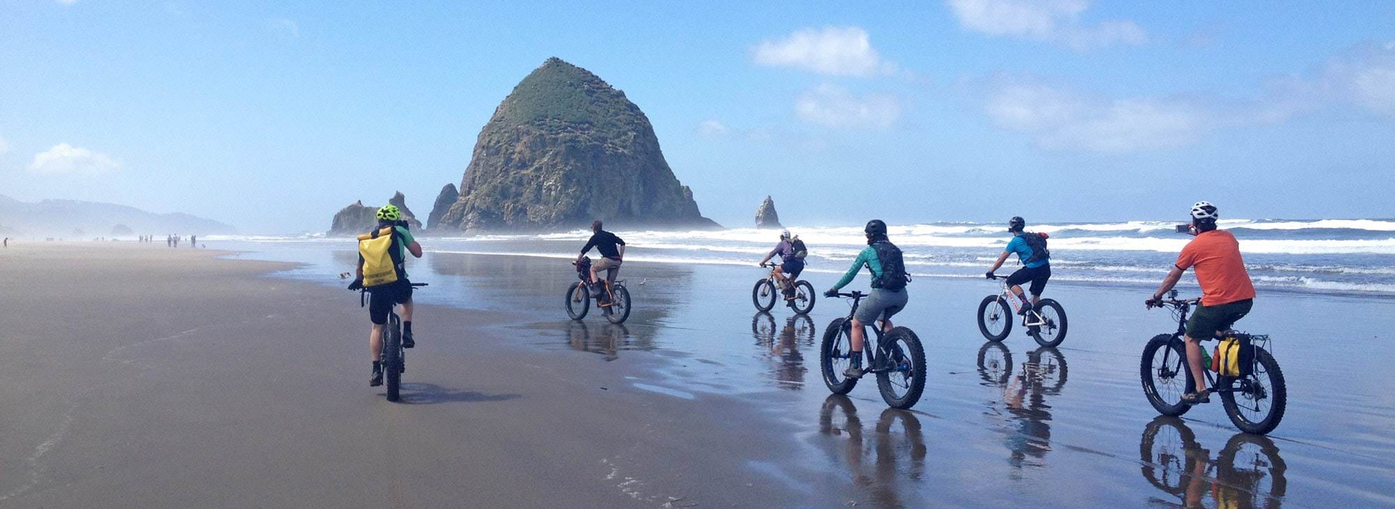
Fat Biking the Oregon Coast – this PDF details self-guided fat biking tours of the Southern Oregon Coast.
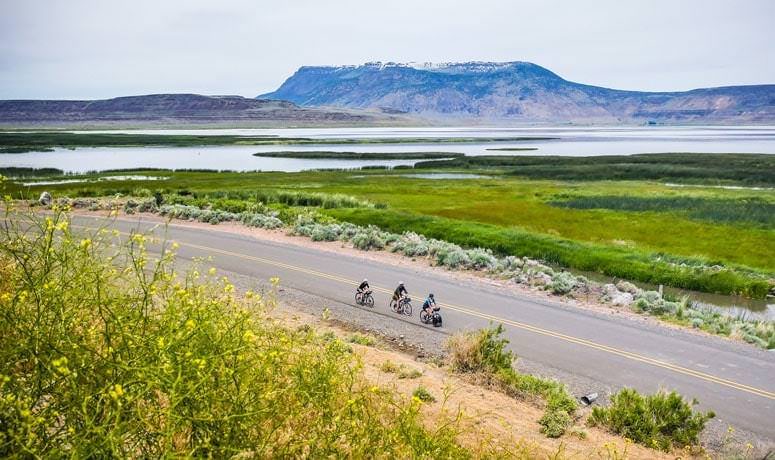
Eastern Oregon
Mount Emily Recreation Area (MERA) maps from Union County
Download a detailed map of MERA, which offers 3,670 acres of outstanding forest recreation just 2 miles north of
downtown La Grande.
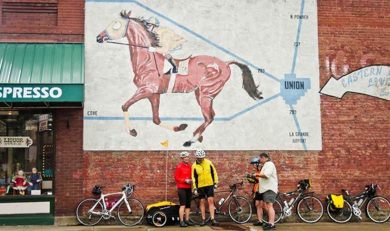
RideGuide – Mountain Bike, Road Bike & Hiking from La Grande Ride, Inc.
Hundreds of miles of trail in Eastern Oregon are accessible thanks to the folks at La Grande Ride. Check out their interactive maps or purchase a comprehensive pack of guides, including mountain, road and gravel riding routes.
Northeast Oregon Bike It Map from Union County
The Baker, Union, and Wallowa Bicycle Map is a tri-county guide to designated mountain bike trails and multi-use paths.
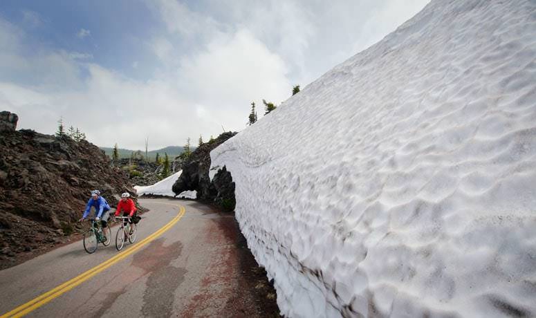
Mt. Hood and the Gorge
Road Riding in the Columbia River Gorge by Clint Bogard
Hood River local Clint Bogard offers up 16 of the best nearby routes in Road Riding in the Columbia River Gorge.